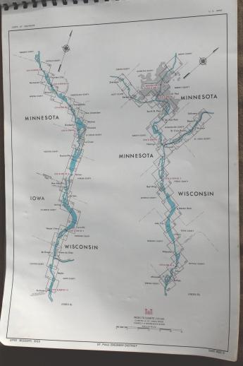
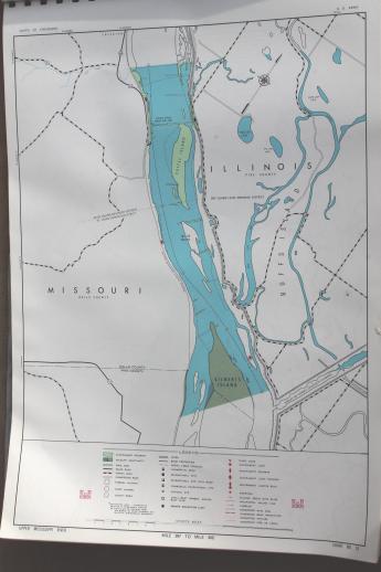
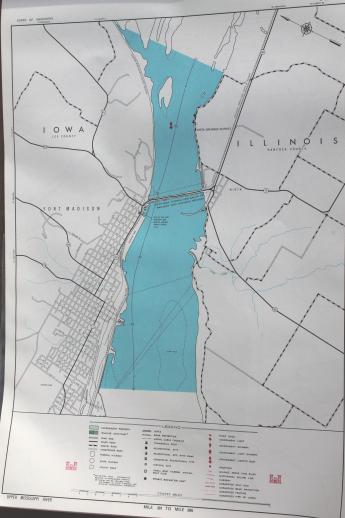
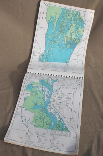
vintage navigational charts / sailing maps of the upper Mississippi river
 more photos of this product below
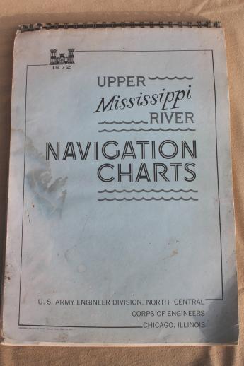
early 1970s folio size collection of boating maps and waterway charts of the upper Mississippi. This is the 1972 edition of Navigation Charts of the Upper Mississippi River published by the US Army Corps of Engineers.
These maps measure 11" x 16" and there are about 87 chart pages. Most of these are double sided.
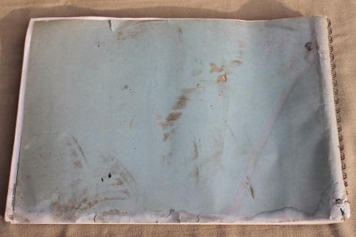
This has wear and soil to the cover and pages edges. There's also some water staining to the first few pages at either end.
- sku: #z0128128
- status: this product is no longer available
- featured in these collections:

