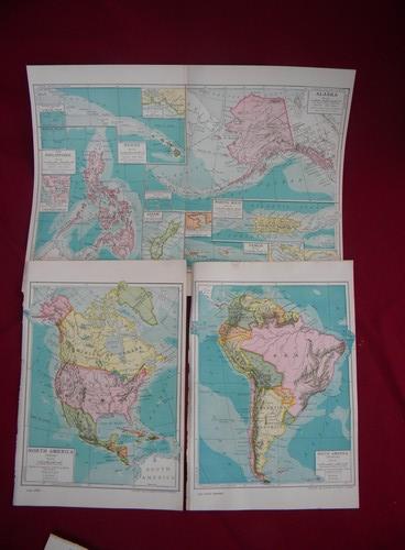
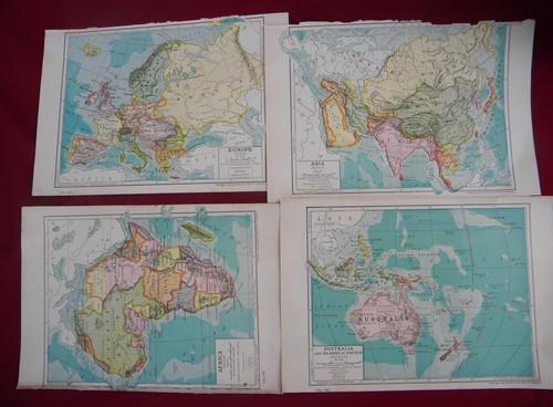
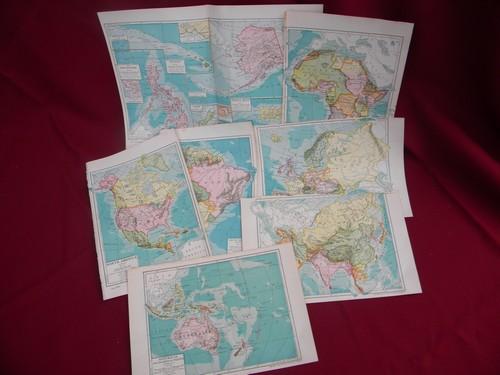
antique world maps, 1903 full color litho plates Europe, Africa etc.
 more photos of this product below
Lot of seven antique full color lithograph world map book plates. These maps are marked Rand McNally and are dated 1903. We like these maps because they each give you the silhouette of the state of Kansas as a comparison of land area (except for the center fold map of the US territories, the Philippines, Alaska, Guam etc..).
- sku: #b826581
- status: this product is no longer available
- featured in these collections:

