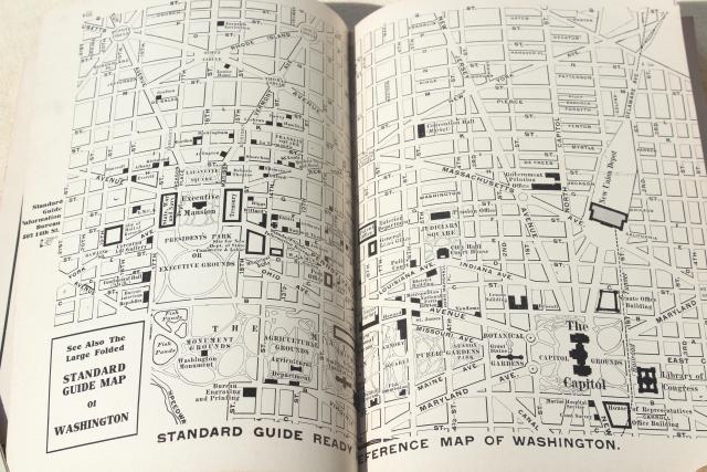
1910 Washington DC map & guidebook, antique vintage advertising & area photos
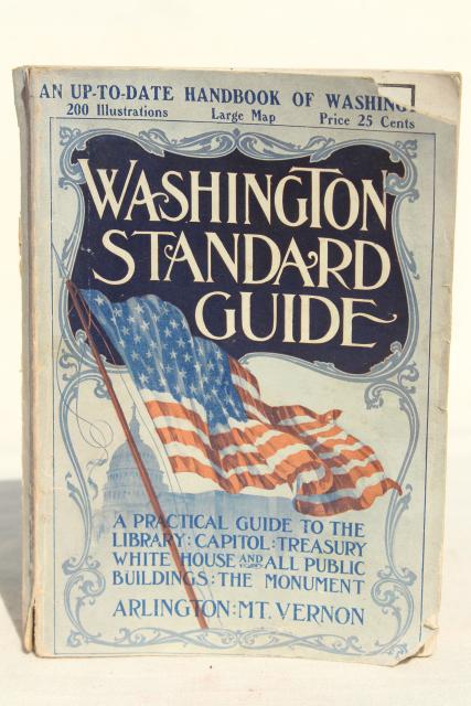
photo of 1910 Washington DC map & guidebook, antique vintage advertising & area photos #1 more photos of this product below

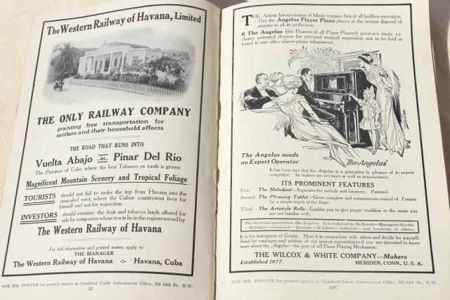
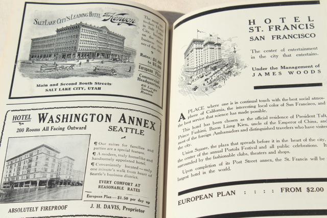
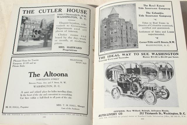
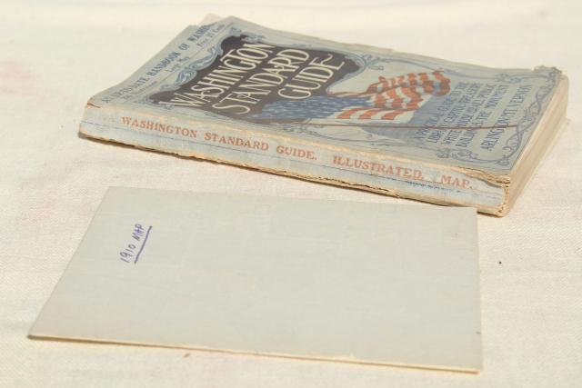
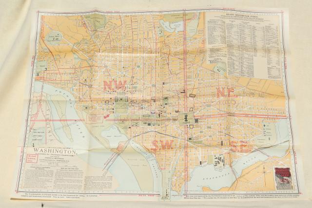
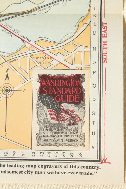
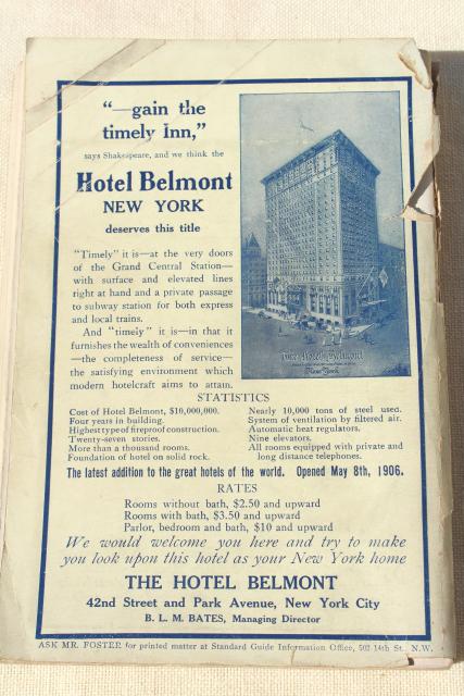
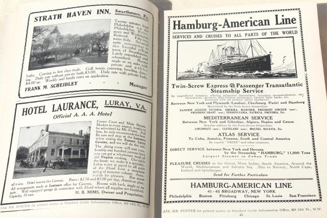
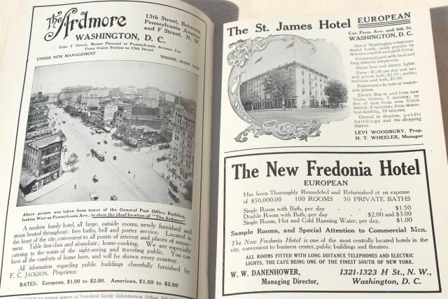
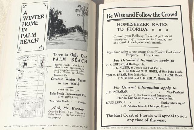
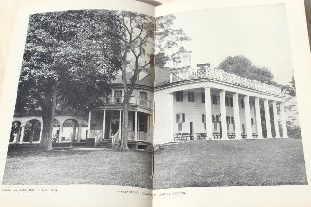
Very interesting early 1900s vintage guide book and map of Washington with many, many interesting old ads, photos of landmarks, etc.. The map is dated 1910.

This book is 130 pages, soft cover, measures 7 3/4" x 5 1/2" over the book, and 24" x 18" over the map, unfolded. The book is worn, with loose cover. Pages look clean.

  1. photo of 1910 Washington DC map & guidebook, antique vintage advertising & area photos #2
  2. photo of 1910 Washington DC map & guidebook, antique vintage advertising & area photos #3
  3. photo of 1910 Washington DC map & guidebook, antique vintage advertising & area photos #4
  4. photo of 1910 Washington DC map & guidebook, antique vintage advertising & area photos #5
  5. photo of 1910 Washington DC map & guidebook, antique vintage advertising & area photos #6
  6. photo of 1910 Washington DC map & guidebook, antique vintage advertising & area photos #7
  7. photo of 1910 Washington DC map & guidebook, antique vintage advertising & area photos #8
  8. photo of 1910 Washington DC map & guidebook, antique vintage advertising & area photos #9
  9. photo of 1910 Washington DC map & guidebook, antique vintage advertising & area photos #10
  10. photo of 1910 Washington DC map & guidebook, antique vintage advertising & area photos #11
  11. photo of 1910 Washington DC map & guidebook, antique vintage advertising & area photos #12
  12. photo of 1910 Washington DC map & guidebook, antique vintage advertising & area photos #13